Sunday 15 November –
We had a relatively short day planned today and allowed for a leisurely start to the day, but again we were up and ready to go by 0700 and so we did.
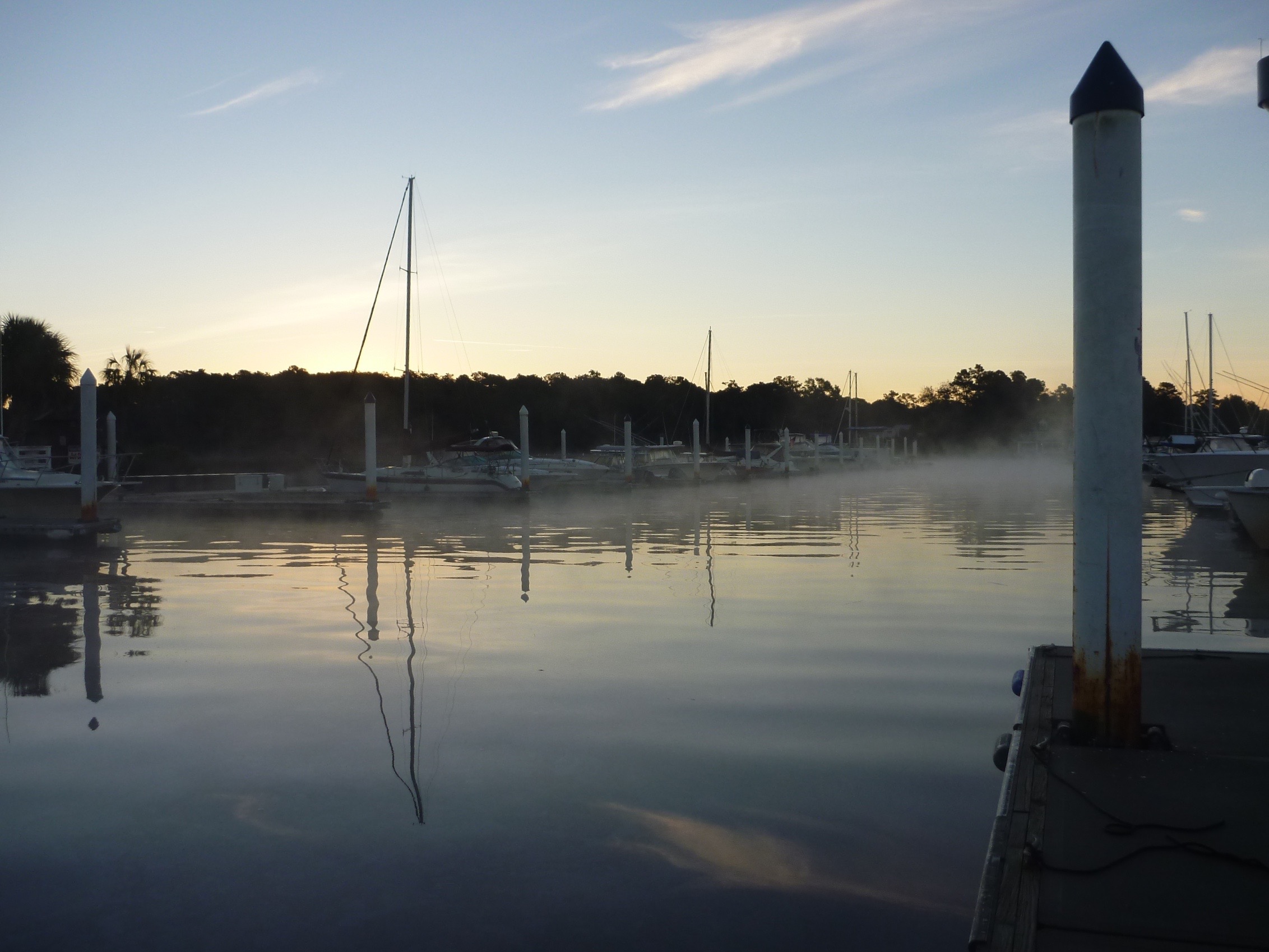 Today was the first time we woke up to frost on the dodger (windshield/windscreen) and on the dock. We are determined to get to warmer climate soon!
But the day warmed up nicely and we were delayered and shedding the shoes by the time we reached the next marina for our evening stay.
Shortly after leaving in the morning we went through the first of 3 bridges that needed to have an opening requested. We ended up following the same sailboat all day, and although we didn’t converse much, it was nice to have him lead the way.
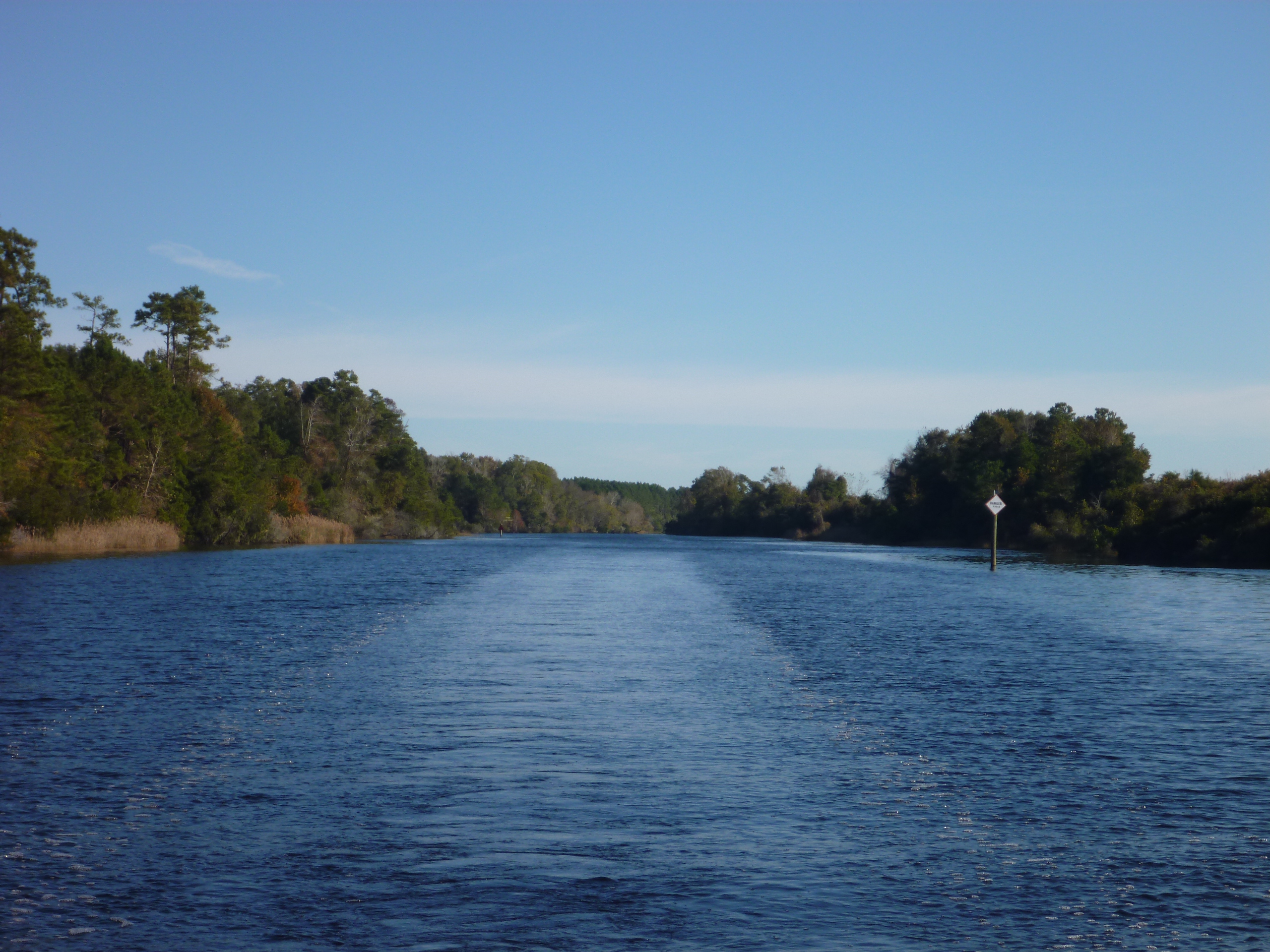 The first (and really only) challenge of the day was navigating what is referred to as the Rockpile. This is a particularly narrow part of the Waterway which is bordered by rock ledges on both sides for 5 miles/8 km or so. It really wouldn’t be too worrisome, if those rock ledges weren’t UNDER the water, and therefore could not be seen. Many boaters have had significant damage done to their boats by getting too close to the sides of the ledges and rubbing up against the sharp rocks. You have to trust your eyes and stay in the middle of the Waterway.
There are a couple of wide areas in this 5 mile/8 km section, but otherwise there is no real space to pass tugboats, barges and other commercial vessels. So, as is recommended by the cruising guide, Christina put out her first Securite message on the radio. (There are three international radio warnings that get broadcast to all stations: 1)”MayDay” for distress or life threatening situation aboard – please send help. All commercial vessels are required to respond in the area. 2) “PanPan” is used to convey urgency on board but no immediate danger to life or vessel – don’t send help but be advised of the situation. (We have heard a few PanPans issued by the Coast Guard for unmanned dinghy in the channel, distress calls they have received with no location, etc.) and 3) “Securite” for safety messages, indicating there is some hazard or something different than normal.) The Securite message boaters are advised to send out for the Rockpile is to state your vessel is entering the Rockpile from which direction and request information regarding any vessel entering or transiting the narrow passage from the other direction.
With the Securite issued we proceeded down the Rockpile, hoping for the best. Following the sailboat in front, we were pretty comfortable until as we reached the most narrow portion near the end, another sailboat approached from the south heading straight toward us at full speed. Bob, at the helm was not impressed and a few expletives were uttered. Christina tried to hail the oncoming boat on the radio, but they either had their radio turned off or not on the hailing channel of 16, because they didn’t respond. We ultimately slowed down and veered a bit to starboard to avoid them, hoping we weren’t going to hit the rocks. We don’t think they fully understood why we weren’t too friendly as they passed by. Thankfully it was just a stressful moment and nothing else.
 Near the southern end of the Rockpile you will see this. There are no signs, but the chart listed Tide Station near this location. So we are assuming that is what this is.
We left the Rockpile, and went through our second bridge opening of the day.
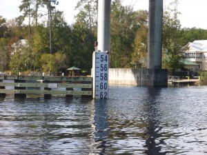
South Carolina has been subject to severe rains and ultimate flooding recently, and with that, the water heights are reportedly 4 feet higher than usual. This board indicates the number of feet of clearance to the bridge. This usually reads about 66′ and today it was 62.5′. This was no problem for us but we do have friends with masts that are 62.5′ and wondered if they scraped as they passed by the prior day.
 We think these trees are usually on land and not in the water – another sign of recent flooding.
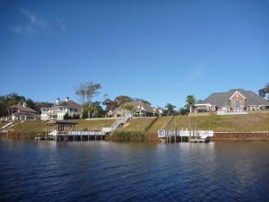
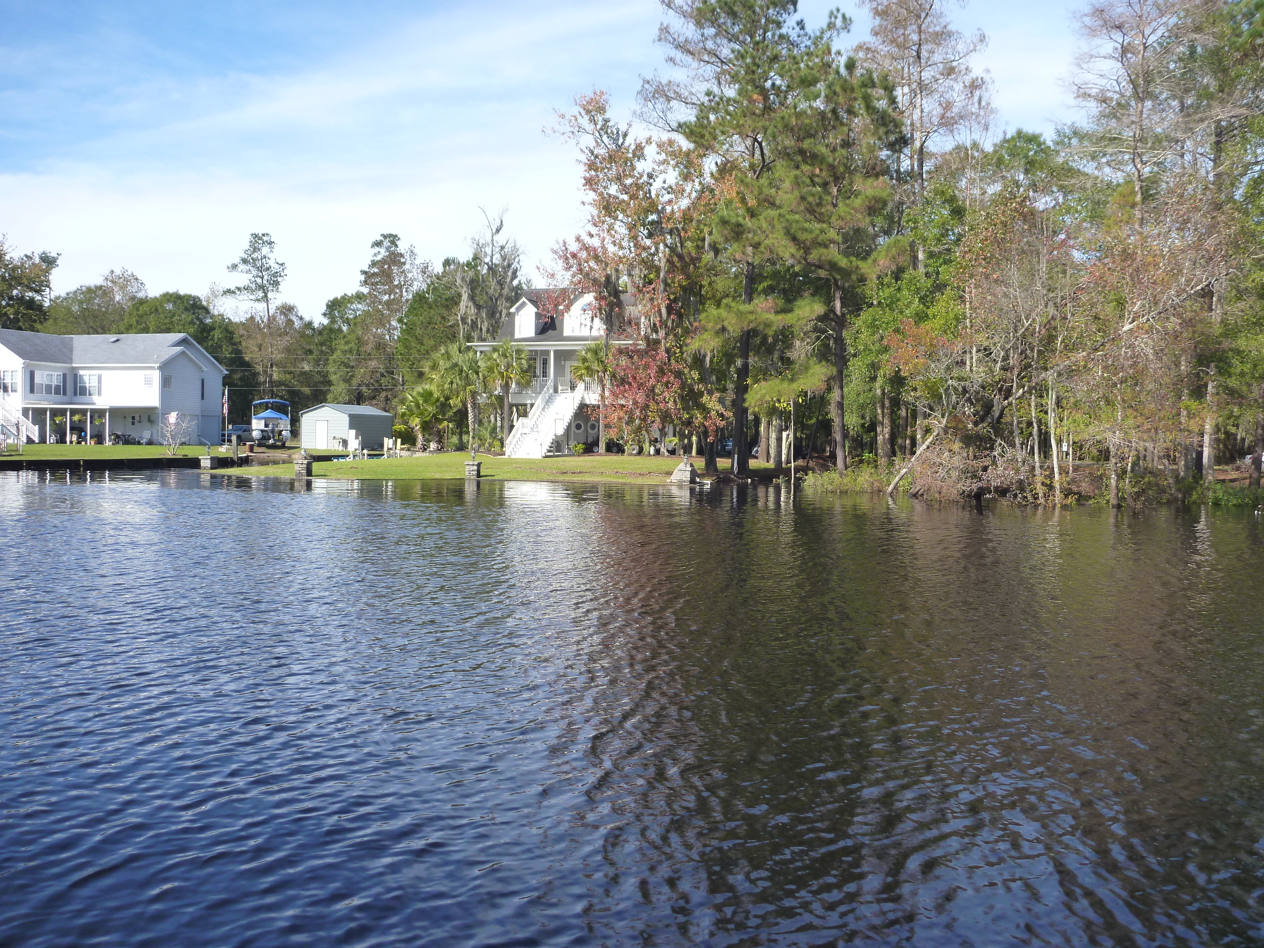
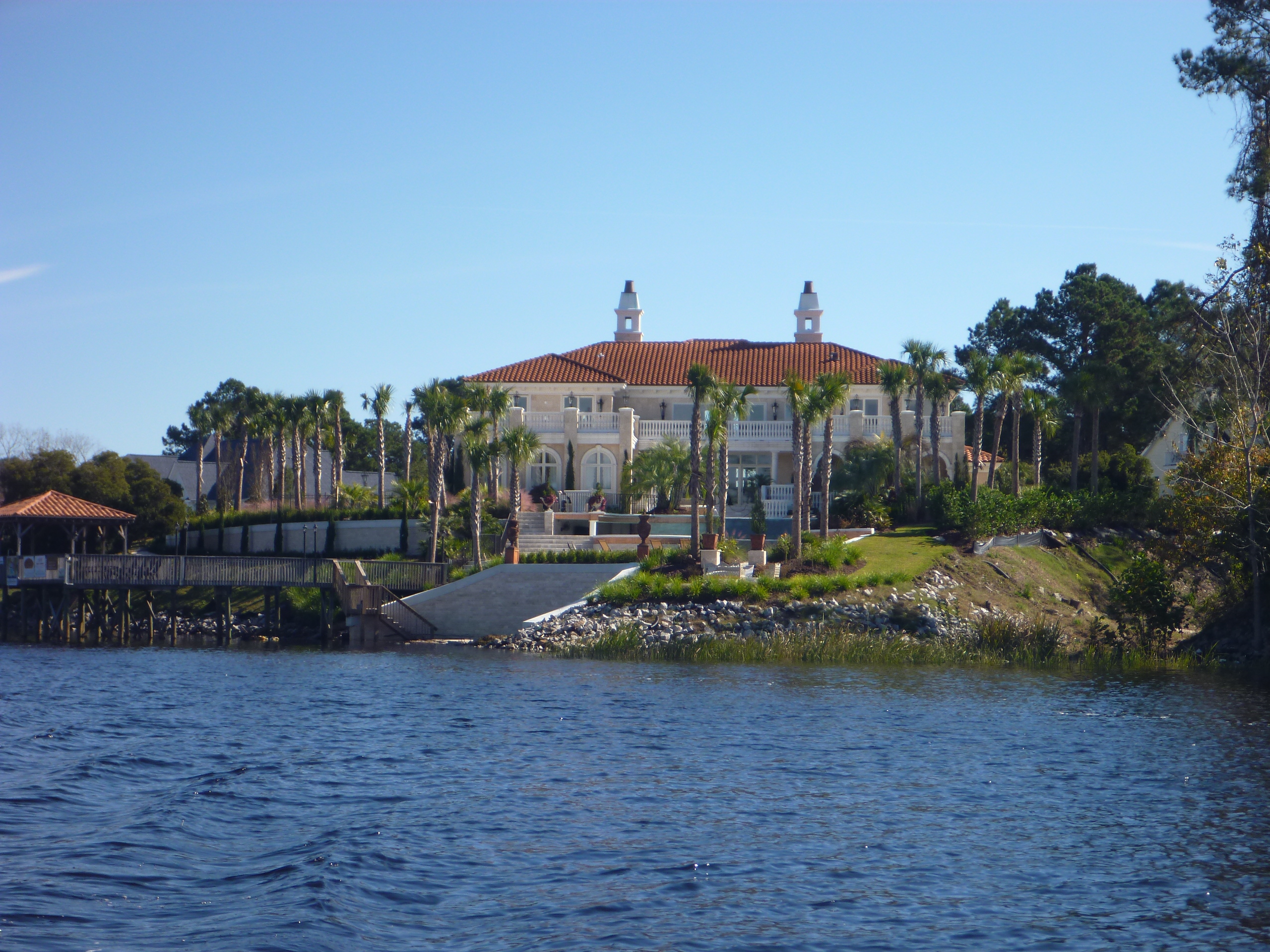
From there we enjoyed the warming sunshine as we meandered past golf courses and very expensive looking homes.
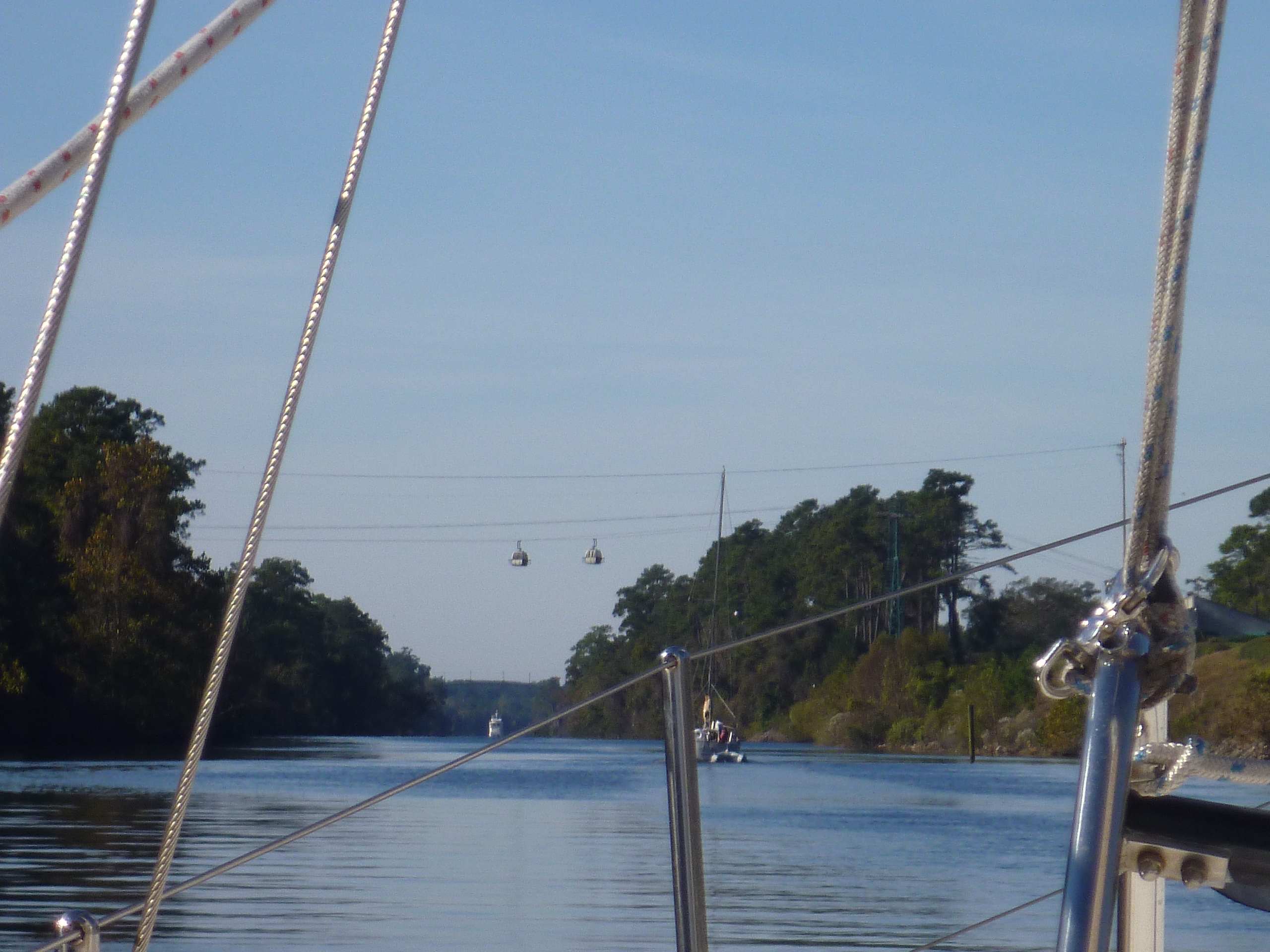 South Carolina is known for its many golf courses, and one even has a gondola that crosses the waterway with enough clearance for sailboats to pass safely underneath.
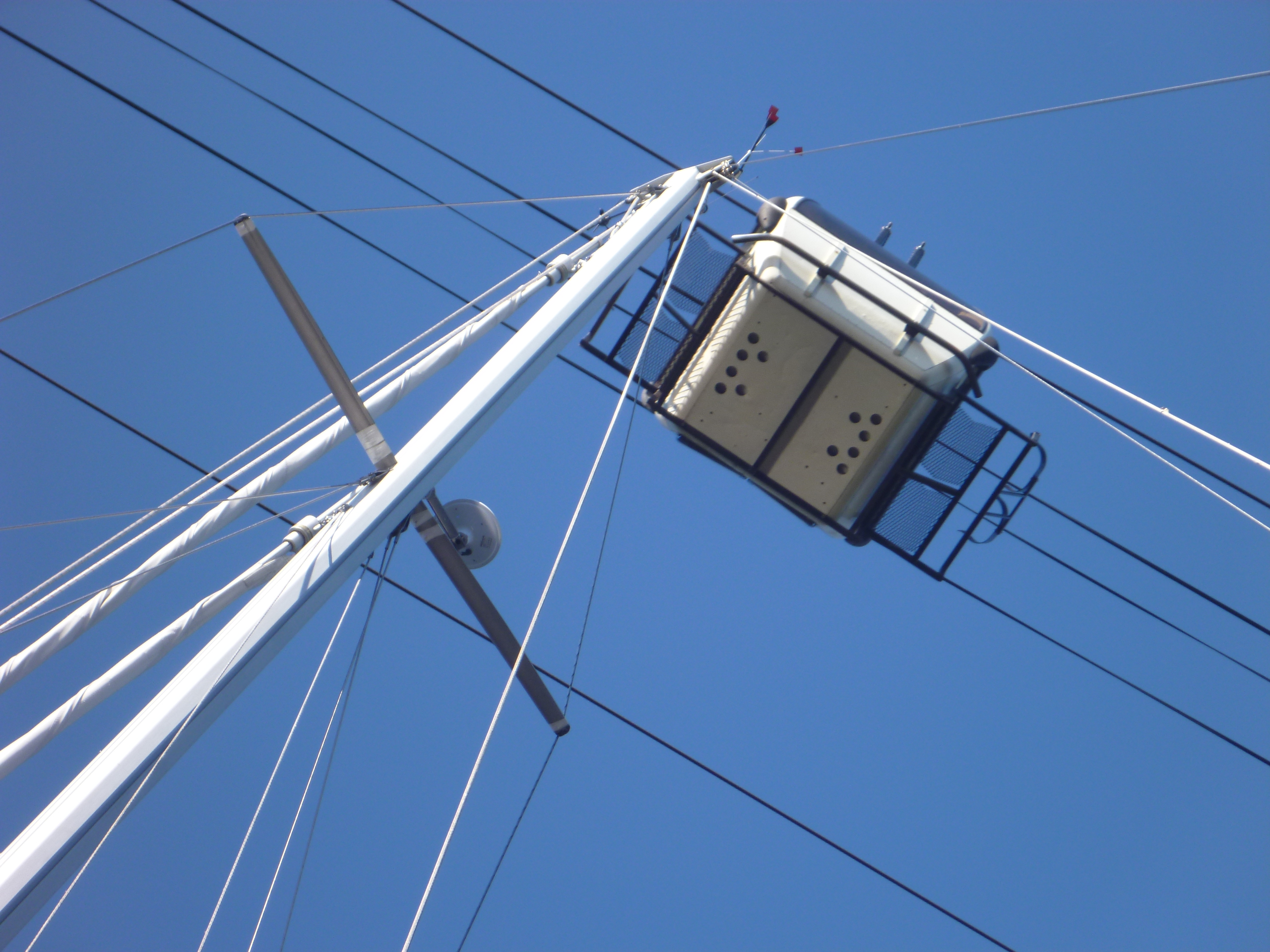
All the charts indicated there was enough clearance for the mast to pass under the gondola, but Christina wanted to make sure, especially with the higher than usual water.
Also along the way is a dock where you can tie up your boat at the outlet mall. Very convenient. But, Bob couldn’t be persuaded to go shopping and so we continued past…..maybe on our way back North?
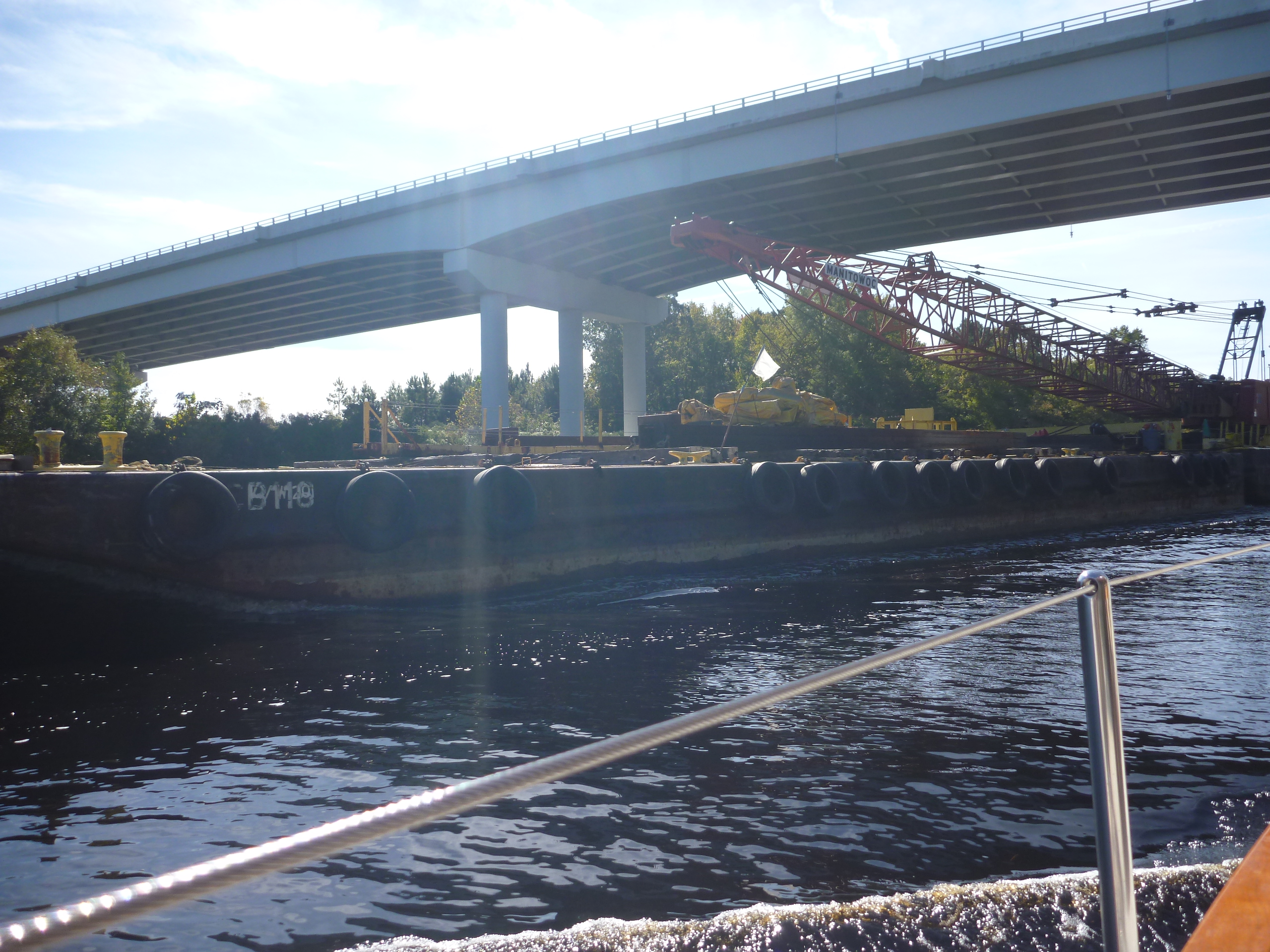
This is not as close or where we really wanted to be passing a barge as we went under the third bridge today.
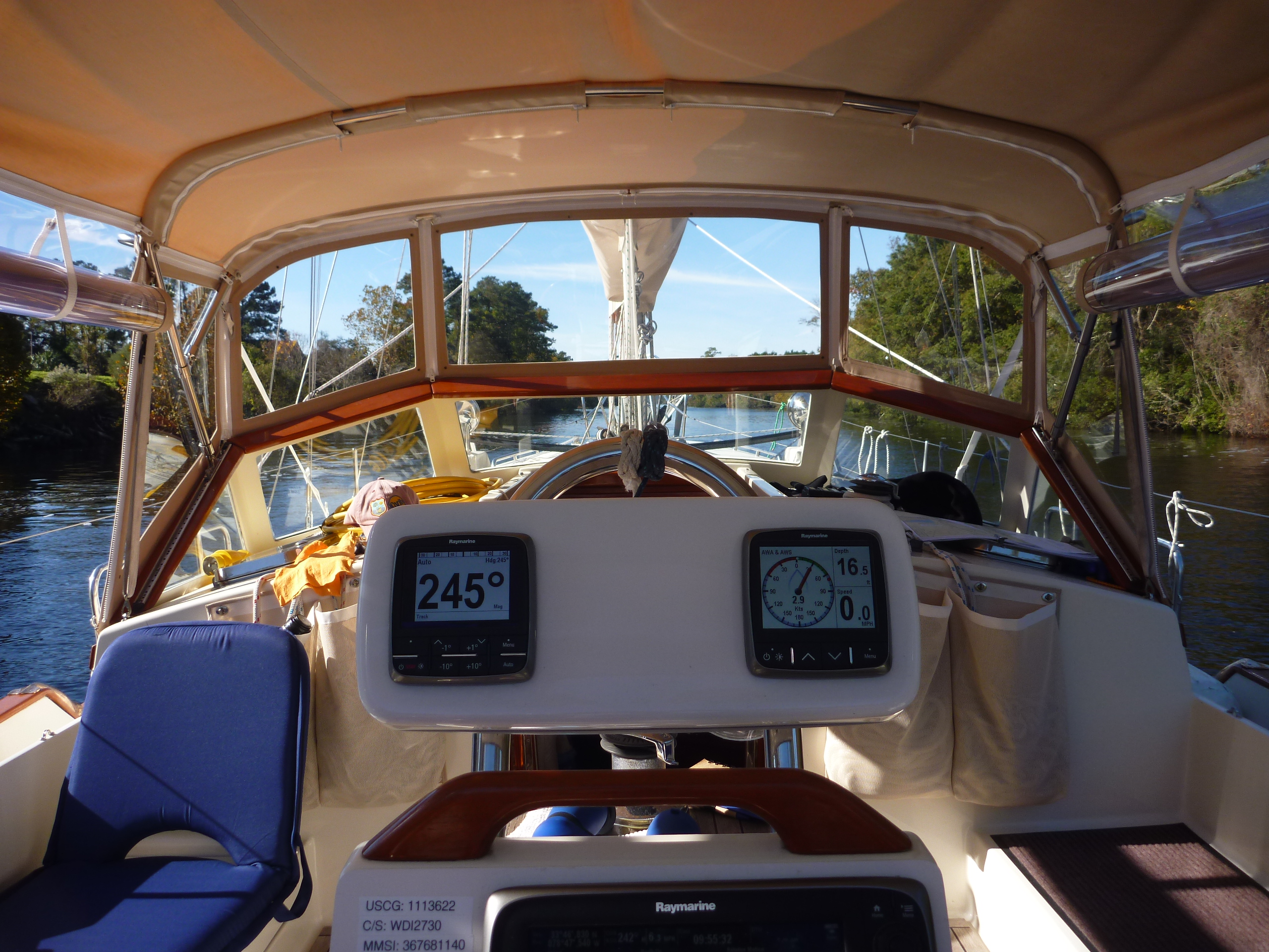 Bob is at the helm 99.99% of the time, and so he wanted to share his view of the world these days.
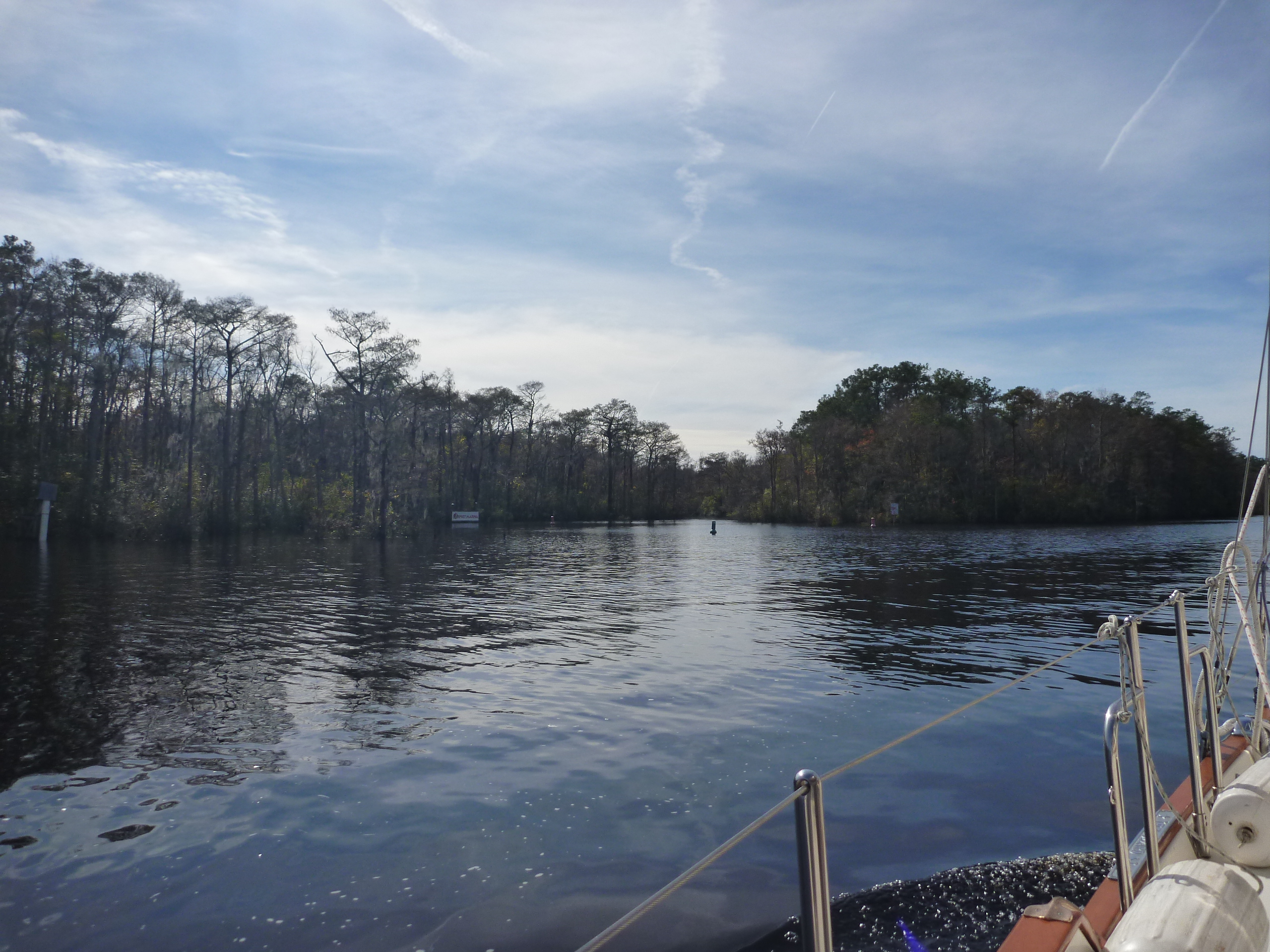
We left the land of golf courses and mini mansions and entered the land of cypress forests as we approached our marina.
 We decided we found a real gem of a marina on the ICW at Osprey Marina. We navigated through this small channel and were greeted by a very helpful dock master who assisted us in tying up in a slip….twice. The first slip was a bit too short for us and our long bowsprit, so he moved us to a longer slip where there was no danger of our anchor taking out electric pods or fire extinguisher posts.
When we checked in we were given a “goodie” bag which was quite fun. It contained pastries, crackers and local jam, along with another can cooler (we can never have too many of those!) and other useful assorted goodies.
The marina is nestled in the woods and was a very peaceful delightful place to spend the rest of the afternoon and evening. We highly recommend this sanctuary to any one considering transiting the ICW.
Tomorrow is another short day as we head to Georgetown.